In the face of natural disasters such as earthquakes, wildfires, floods, and industrial accidents, traditional search and rescue (SAR) methods often fall short due to environmental hazards, limited visibility, and the need for rapid action. These critical situations require innovative solutions that can enhance victim detection, improve rescue efficiency, and minimize risks to human life.
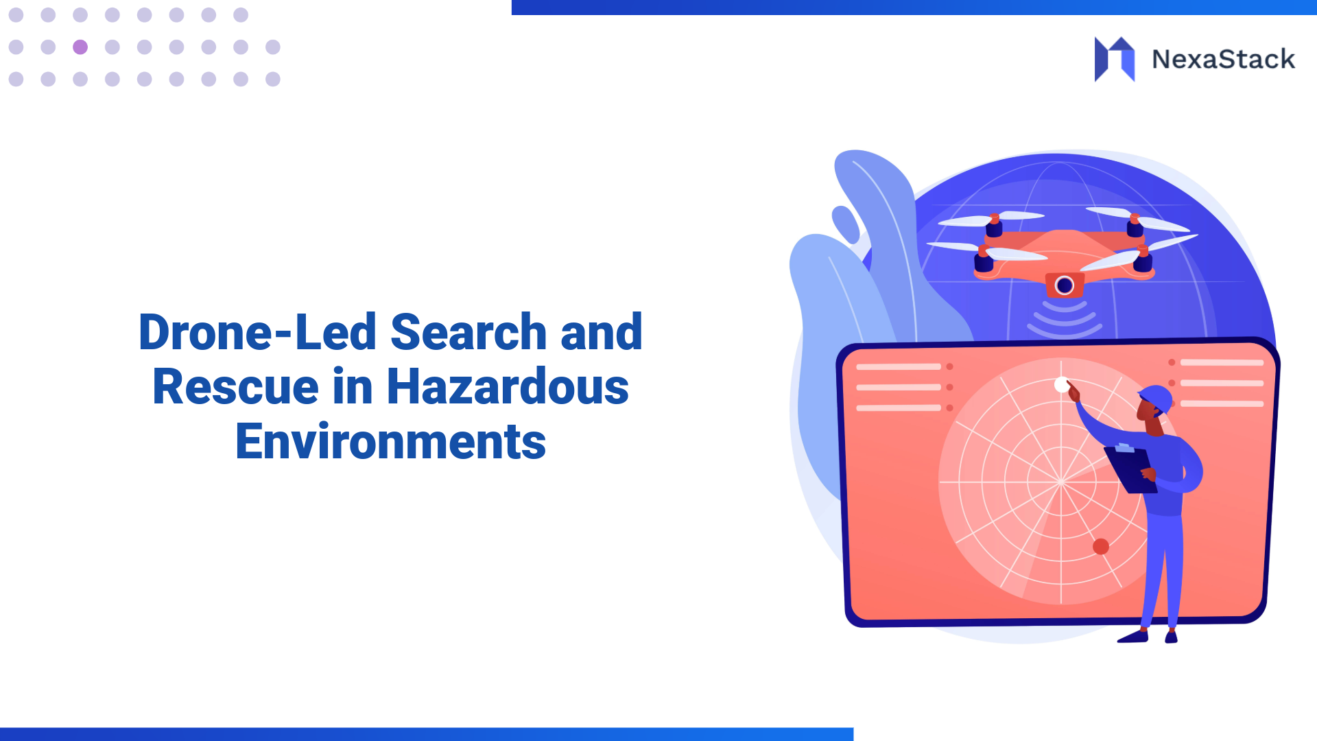
Drones in search and rescue operations have emerged as a revolutionary tool, leveraging advanced technologies to navigate hazardous environments, including collapsed buildings, smoke-filled zones, and flood-prone areas. When paired with AI-powered drones, these devices can autonomously scan vast areas, identify heat signatures, and provide critical information to ground teams faster than ever before. With the integration of NexaStack’s Agentic AI, drones are now equipped to perform advanced tasks, such as real-time data processing, multi-spectral imaging, and LiDAR mapping, significantly enhancing the capabilities of SAR operations.
By utilizing NexaStack's Rescue Drone Agent, first responders can overcome the challenges posed by complex disaster scenarios, ensuring that victims are located faster, and SAR teams can act with greater precision. The Rescue Drone Agent integrates cutting-edge technologies, including thermal imaging, geo-localization, and AI vision, to support real-time decision-making, ensuring efficient and safe search and rescue operations in hazardous environments.
The Challenge of Search and Rescue in Hazardous Environments
Search and rescue operations in hazardous environments present numerous challenges. In disaster situations such as collapsed buildings, fire-stricken zones, or flood-hit regions, human teams face numerous obstacles:
-
Limited Visibility: Dense smoke, debris, and low-light conditions make it difficult for rescuers to locate victims.
-
Dangerous Terrain: Many disaster zones are unstable, with collapsing structures, shifting ground, or wildfire risks that prevent SAR teams from safely entering affected areas.
-
Time Sensitivity: Every minute matters when it comes to rescue missions. Delays in identifying victims or navigating to their location could lead to tragic outcomes.
Drones equipped with advanced sensors and powered by AI can overcome these challenges. They can quickly survey large areas, penetrate smoke and darkness, and provide real-time data, enabling SAR teams to make informed, rapid decisions.
How Drones Enhance Search and Rescue Missions
1. Multi-Spectral Imaging for Victim Detection
One of the most significant advantages of using drones in search and rescue operations is their ability to detect heat signatures and identify victims in hard-to-reach areas. Drones equipped with multi-spectral imaging cameras can see beyond what is visible to the human eye, providing thermal and infrared data that reveals body heat, even under rubble, in dark areas, or in smoke-filled environments.
Multi-spectral imaging allows drones to detect temperature variations that are indicative of human presence. For instance, survivors trapped under debris or hidden by smoke or darkness may still emit a heat signature that drones can detect with infrared sensors. This capability significantly reduces the time needed to locate victims, ensuring that rescue operations are faster and more effective.
Additionally, multi-spectral imaging helps to differentiate between various types of surfaces and objects, making it easier to locate victims amidst debris, dense vegetation, or floodwaters. The real-time feed from drones can also help teams on the ground visualize the exact location of victims.
2. LiDAR Mapping for 3D Terrain Analysis
When dealing with collapsed buildings, flood zones, or wildfires, understanding the environment and identifying the safest routes is essential. Drones equipped with LiDAR (Light Detection and Ranging) technology can create high-resolution, 3D maps of the affected area, providing a detailed overview of the terrain.
LiDAR technology works by emitting laser pulses and measuring the time it takes for the pulses to bounce back after hitting an object or surface. This allows drones to measure distances with extreme precision, even in environments with low visibility. In disaster zones, LiDAR can help identify the extent of building collapses, the depth of floodwaters, or the layout of wildfire-affected areas.
For search and rescue teams, LiDAR maps provide a valuable tool for assessing damage and planning their operations. By visualizing the terrain in 3D, rescue teams can better navigate unstable structures, avoid further hazards, and prioritize their search efforts based on accurate, real-time data.
3. Geo-Localization AI for Accurate Victim Location
Accurate victim location is a key challenge in search and rescue missions. Traditional methods, such as relying on visual cues or manually marking locations, can be time-consuming and prone to errors. NexaStack’s Geo-Localization AI technology solves this problem by providing real-time, precise geospatial data on victims' locations.
The Geo-Localization AI integrates data from the drone’s sensors—such as thermal imagery, visual feeds, and LiDAR mapping—to pinpoint the exact coordinates of survivors. This information is invaluable for directing human teams to the correct locations, avoiding the need for redundant searching or guesswork. By providing real-time data on the victim’s position, the AI ensures that rescuers can quickly reach the survivors with minimal delay.
How NexaStack’s Agentic AI Powers Drone-Led Search and Rescue
NexaStack’s Agentic AI offers significant advantages to drone-led search and rescue operations by enabling drones to operate autonomously, process data in real-time, and collaborate seamlessly with human teams.
1. Autonomous Navigation in Complex Environments
Disaster zones are often dynamic and unpredictable, with structures collapsing, fires spreading, or floodwaters rising. In such environments, drones need to navigate with agility and autonomy. NexaStack’s Agentic AI enables drones to make real-time decisions based on sensor data, allowing them to avoid obstacles, adapt to environmental changes, and follow the safest flight paths.
The AI-powered drones can automatically adjust their flight paths to avoid falling debris, smoke, or fires, ensuring that they can continue operating without direct human control. This autonomous navigation significantly improves operational efficiency and safety, as drones can cover large areas quickly without requiring constant human operator input.
2. Real-Time Data Processing and Decision Making
Search and rescue missions require immediate action, and delays in data processing can lead to missed opportunities. With NexaStack’s AI-powered drones, real-time data processing and decision-making are key features. As drones capture imagery, thermal data, and LiDAR measurements, Agentic AI processes this data instantly, filtering out irrelevant information and highlighting areas of interest.
For example, when a drone detects a heat signature in a collapsed building, the AI can immediately determine if the heat signature matches a human body and notify rescue teams with precise location data. This immediate feedback allows SAR teams to act on real-time information, improving their ability to respond to emergencies quickly and efficiently.
3. Seamless Integration with Ground Teams
While drones provide valuable aerial data, the success of a search and rescue operation depends on effective collaboration between aerial and ground teams. NexaStack’s Agentic AI facilitates this integration by providing ground teams with real-time visual feeds, detailed 3D maps, and up-to-date victim locations.
Through live video feeds, SAR teams on the ground can monitor the environment as the drones gather data, allowing them to make informed decisions. Additionally, the AI-generated maps help teams navigate the terrain by showing the safest routes and areas that require immediate attention. This seamless integration improves the efficiency of rescue operations and ensures that all teams are aligned and informed.

The Impact of Drone-Led Search and Rescue in Real-World Scenarios
1. Earthquake Response
In the aftermath of an earthquake, buildings often collapse, leaving survivors trapped under rubble. The sheer scale of the disaster makes it difficult for rescue teams to search the entire area manually. Drones equipped with multi-spectral imaging and LiDAR mapping can quickly scan large areas, identifying heat signatures from survivors trapped beneath debris.
In this scenario, drones can generate 3D maps of collapsed structures, helping rescue teams plan their approach and identify areas where survivors are most likely to be. With real-time geo-localization, drones provide precise locations of victims, enabling SAR teams to act swiftly and rescue survivors.
2. Wildfire Response
Wildfires pose a unique challenge for search and rescue operations. Dense smoke, extreme heat, and rapidly changing conditions make it hard for rescuers to locate victims and navigate the terrain. Drones equipped with thermal imaging and AI-driven navigation can fly through smoke and locate victims by detecting heat signatures.
Real-time mapping of the fire’s progression and surrounding terrain helps SAR teams avoid hazardous zones and reach survivors most safely and efficiently. Drones also assist in identifying hotspots and areas at risk of further spreading, enabling firefighters and rescuers to prioritize their efforts.
3. Flood Relief and Rescue
Flooded areas often create vast, treacherous landscapes where it is challenging to locate survivors. Drones equipped with LiDAR sensors and thermal cameras can map the flood zone in real-time, detecting survivors stranded on rooftops, in trees, or on higher ground. The Agentic AI enables drones to quickly analyze this data and provide SAR teams with precise locations to focus their efforts on.
In flood-stricken regions, drones help to reduce response time, allowing first responders to reach survivors faster and with greater efficiency, even in areas where traditional ground-based efforts would be impossible.

Benefits of Drone-Led Search and Rescue with NexaStack Agentic AI
1. Speed and Efficiency
Drone-led search and rescue operations are much faster than traditional methods. With autonomous navigation, multi-spectral imaging, and real-time data processing, drones can quickly cover large areas, reducing the time it takes to locate and rescue victims. By enabling rapid decision-making, drones help SAR teams respond more efficiently in critical situations.
2. Safety for First Responders
Drones reduce the need for human rescuers to enter dangerous zones. By handling reconnaissance, environmental mapping, and victim identification, drones mitigate the risks faced by human teams. This enhances the safety of SAR teams, allowing them to focus on executing rescues rather than navigating hazardous environments.
3. Cost-Effectiveness
Drone technology is a cost-effective solution for search and rescue operations. By reducing the need for large personnel deployments, minimizing the time required for rescues, and providing highly detailed data, drones help reduce the overall cost of disaster response efforts.

Conclusion
Drone-led search and rescue operations powered by NexaStack’s Agentic AI are transforming disaster response by offering faster, safer, and more efficient solutions. Equipped with advanced technologies such as multi-spectral imaging, LiDAR mapping, and geo-localization AI, drones can quickly locate victims, assess damage, and guide rescue teams in hazardous environments.
The integration of Agentic AI enables these drones to operate autonomously, process data in real-time, and collaborate seamlessly with human teams, making them an indispensable tool for modern search and rescue operations. As drone and AI technologies continue to evolve, the future of disaster response will be increasingly automated, efficient, and life-saving.
Frequently Asked Questions (FAQs)
Learn how Nexastack’s Drone-Led Search and Rescue system leverages AI-powered drones for faster, safer, and more effective disaster response in hazardous environments.
What is Drone-Led Search and Rescue?
Drone-Led Search and Rescue utilizes autonomous drones equipped with AI sensors, thermal imaging, and LiDAR to identify and locate victims in hazardous environments, such as collapsed buildings, forests, or areas with limited visibility.
How do drones navigate hazardous environments?
Drones equipped with AI-powered flight systems and real-time data processing navigate hazardous environments by using GPS, computer vision, thermal cameras, and obstacle avoidance algorithms to map and explore affected areas autonomously.
How does Nexastack’s AI enhance search and rescue operations?
Nexastack’s Agentic AI platform processes real-time sensor data from drones, identifies potential hotspots, and prioritizes areas of interest for rescue teams. AI agents ensure continuous situational awareness and optimize rescue routes and strategies.
What types of data do drones collect during rescue missions?
Drones collect thermal images to detect body heat, LiDAR data for 3D mapping of disaster sites, and environmental sensor data (such as temperature, humidity, and gas levels) to assess safety risks and provide detailed maps for rescuers.
Which industries and sectors benefit most from drone-led search and rescue?
Drone-led search and rescue is particularly beneficial for emergency services, disaster response teams, humanitarian aid organizations, and industries such as mining, oil and gas, and construction—where remote and dangerous environments are common.